
Walk a West Melbourne Street
A reliable West Melbourne street directory search moves from one exact address to the next. Start with the physical address, called the situs by the Property Appraiser. Save the parcel account and legal description before opening any other record. Those identifiers stop a same-name owner or similar address from pulling the search onto the wrong land.
- Enter the house number and street in the Brevard County Property Appraiser Property Search. Record the situs, account, parcel ID, owner, tax-mailing address, and assessment year.
- Open BCPAO MapView. Zoom along the street, click each parcel polygon, and open Details instead of trusting map labels.
- Use the transfer reference or owner name in the Clerk's land index. Confirm the legal description before adding a deed to the chain.
- Treat the voter-status page as an authenticated self-lookup, not a public street browser.
- For older occupants, ask whether a Melbourne-area directory contains a reverse, street-order section for that year and address.
Search West Melbourne by Address
BCPAO is the strongest first source for a current West Melbourne address. Details may include the owner, tax-mailing address, situs, parcel and account identifiers, legal description, tax district, use, values, exemptions, building facts, sketches, sales, and map links. A mailing address is where the tax notice goes. It must not be presented as a current home address.
| Search choice | Entry | Useful result |
|---|---|---|
| Address | House number and street | Situs and matching parcels |
| Owner | Full or partial name | Owner-linked parcels |
| Account | Seven-digit number | Exact property card |
| Parcel ID | County-formatted ID | Legal and map identity |
| Subdivision or sales | Name or sale criteria | Grouped parcels or transfers |
A homestead entry can support an owner-occupancy theory, but timing and eligibility limit that clue. It does not identify renters or other household members. Matching situs and mailing fields remain evidence, not proof of a complete household.
Map West Melbourne Street Parcels
MapView turns an address search into a street-wide visual check. Layers include parcels, subdivisions, blocks, aerials, recent sales years, labels, water, sections, and township-range data. Zoom and measure tools help show which lots adjoin. Make a Map can preserve a block view, though its layer date matters because aerial and sales data change.
The BCPAO public-data page offers downloadable parcels, situs centroids, subdivisions, and city boundaries. It helps when a general map blurs the West Melbourne line. It does not create an occupant list, and the polygons are not survey-grade.
The official public-data source appears below.
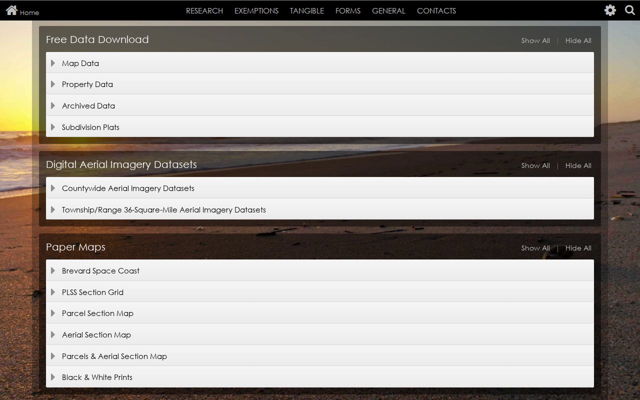
The capture shows where parcel files and boundary layers support a by-street review beyond the interactive viewer.
Note: A parcel may lack an assigned situs while still carrying an account, owners, legal description, sale record, and map position.
West Melbourne Street Record Sets
Address records cover different parts of the same street. The property roll identifies taxable parcels. GIS supplies spatial context. Recorded instruments establish transfers. City files date work or code activity. Historical directories can add listed occupants for selected years.
| Address record | Local keeper | Street evidence | Access route |
|---|---|---|---|
| Assessment roll | Brevard Property Appraiser | Owner, situs, mailing, value, exemption | Free Property Search |
| Parcel GIS | Brevard Property Appraiser | Nearby lots, subdivision, aerial, sales | Free MapView and downloads |
| Deeds, plats, liens | Brevard Clerk | Transfer parties and legal description | Free index from 1981; older counter research |
| Permits and code files | West Melbourne | Work, dates, applicant, contractor, orders | City page, counter, or request |
| Voter registration | Supervisor of Elections | Lawfully released registration fields | Self-lookup or focused data request |
| Reverse directory | State Library/local inquiry | Past listed occupant by address | Volume-specific reference access |
The account ties the card to MapView. A recording reference or legal description connects the parcel to deeds. For permits, provide both address and parcel number because old city files may need staff retrieval.
Follow West Melbourne Deed Names
The Brevard County Clerk of the Circuit Court & Comptroller records deeds, mortgages, liens, judgments, plats, and declarations. Its Official Records index includes data and eligible images from January 1, 1981. Protected images may be absent even when an index entry is public.
The official land-record route and digital cutoff appear below.
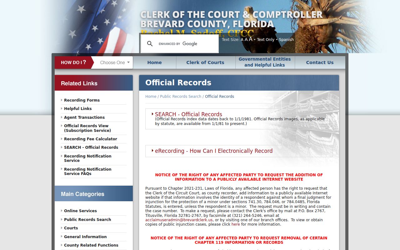
The landing page leads to the free index, while counter service and research requests carry the parcel trail into older books.
Search by Name, Book/Page, Instrument Number, legal description, dates, or document type. The Clerk recommends surname comma given name, fewer terms, and spelling variants. Results can show parties, roles, date, instrument or book/page, type, and legal-description references. A mortgage or affidavit is not a transfer. Read the instrument type and image.
West Melbourne's 1981 Handoff
The precise January 1, 1981 online boundary is a local research quirk. It marks a change in access, not the start of deed history. At that boundary, call 321-637-2004, use a branch with the needed older medium, mail a copy request, or submit a narrow request through Clerk NextRequest. RCRC also handles paid research and copies.
Ordinary copies were $1 per page and certification $2 per document when checked August 22, 2026. Older research is quoted. The Historical Commission and State Archives can supplement maps, but the Clerk's recorded instrument controls.
Note: Never treat an empty pre-1981 web search as proof that the property lacked an earlier owner or instrument.
Normalize West Melbourne Owner Names
Index rules matter once the street directory supplies an owner. Try abbreviated first names and spelling variants. Omit “the” and most symbols in a business name. Results may pause at a checklist of matched name forms before showing documents.
The Clerk's recorded-document guide shows the sequence.
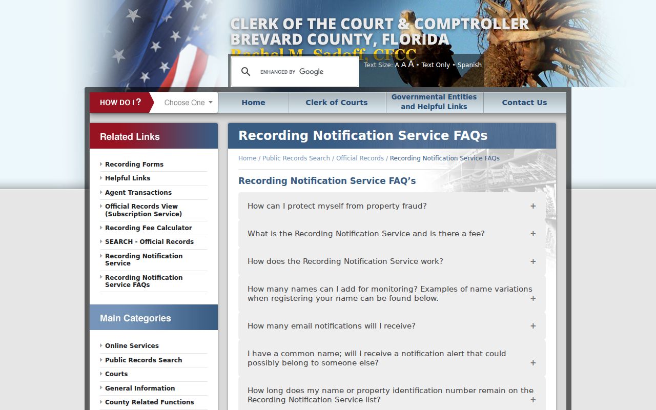
The capture shows why a broad pass, variant selection, and legal-description check beat one rigid spelling.
The free Recording Notification Service can watch a registered name or legal description. It warns of a match, but it is not title insurance and cannot stop a filing.
West Melbourne Permits by Address
The West Melbourne Building Department can add facts that deeds do not show. A permit may list a parcel, work, contractor, owner or applicant, status, dates, and inspections. Planning records can name an applicant in a site plan or rezoning. Code files may show an address, inspection dates, responsible party, orders, and outcome.
The public page routes by service, but no verified historical start or full current field list was exposed. If online access fails, ask City Hall for the existing permit register and archived cards for the exact address, parcel, document types, and dates. A permit applicant shows involvement, not residence. Protected details and open investigations may be withheld.
Ask for the permit summary, application, inspection log, certificate or final status, and code orders where public. Include the street address and parcel because older files may use a prior permit number or an archived card system. Planning agenda packets can also connect the legal owner or applicant to a subdivision, site plan, or rezoning hearing. Recorded code liens, easements, plats, and development covenants may appear separately in the Clerk's index, so a city search and a land-record search answer different parts of the address history.
Check West Melbourne Jurisdiction
A “Melbourne, FL 32904” mail line does not settle whether land lies in West Melbourne. USPS organizes delivery, while municipal lines govern city records. Confirm mail format with USPS ZIP Code Lookup, then inspect the BCPAO tax district and city-boundary layer.
West Melbourne grew through subdivisions and annexations after its 1959 incorporation. A legal description and plat are steadier keys than a neighborhood name.
- Parcel
- A unit of land identified for assessment and mapping.
- Situs address
- The physical assessment address, not the owner's tax-mailing address.
- Plat
- A recorded map defining subdivision lots, blocks, roads, and boundaries.
- Criss-cross directory
- A historical listing arranged by street and house number.
Street-Level Voter Record Limits
The Brevard Supervisor of Elections My Voter Status tool authenticates one voter. It does not browse a street. A focused public-data request may seek the releasable part of an existing file by geography and fields, subject to exemptions and quoted service costs.
Florida section 97.0585 protects Social Security numbers, driver-license or state-ID numbers, signatures, and specified data. A released list still omits minors, noncitizens, adults not registered, and protected voters. Inactive status may reflect list maintenance, not a move.
Precinct maps, election results, and registration statistics are public products apart from the personal status tool. For an existing public data extract, describe the date, geography, and fields sought and ask the custodian to identify exemptions and estimate media or extensive-service charges. Historical poll books, if retained, require a separate inquiry to the Supervisor, Historical Commission, or State Archives. None of these sources should be converted into a claim that everyone shown still occupies the listed address.
Older West Melbourne Streets
For older occupancy, search Melbourne-area headings and inspect each volume's geographic key. West Melbourne incorporated in 1959, so it lacks a long stand-alone run. A reverse section can place a listed householder by address, but the official web catalog did not expose a verified local publisher-by-year list.
Ask the State Library reference desk and Brevard County Libraries for years, coverage notes, and reverse sections. The West Melbourne city directory explains that shelf in depth.
Useful catalog terms include “Melbourne city directory,” “Polk Melbourne,” telephone directory, high-school yearbook, and newspaper microfilm. Before a visit, ask staff to confirm the exact title, publisher, every available year, geographic coverage statement, reverse or street section, and reproduction policy. Save the title page and abbreviation key with an entry so later readers can tell what the volume covered and how its symbols were meant to be read.
Limits of West Melbourne Street Records
No West Melbourne street directory source produces a complete, current household roster. Property and deeds focus on ownership. Permits show applicants and work. Voter data omits many people. Directories may omit unlisted homes. Utility accounts, private member lists, gate logs, and group rosters are not public resident rolls.
Map boundaries are not surveys. Owner names and exemption flags can lag. Verify a parcel through two official sources and save each record date. When the goal shifts to one person, use the West Melbourne resident lookup instead of inferring identity from nearby parcels.
A homestead exemption is evidence consistent with owner occupancy, not proof. The tax-mailing address may be a mailing destination rather than a home, and a deed grantee may have bought land without moving there. Renters, relatives, and other household members ordinarily remain outside the property roll. Preserve these limits in notes, especially when two parcels have similar addresses or two owners share a name.
Keep a short source log for every address: portal, search term, result date, assessment year, and the next record consulted. That audit trail makes later updates easy and shows whether a conclusion came from a map label, a dated roll, or a recorded image.
Lawful use. Use West Melbourne address records only for personal, lawful research. Never stalk, harass, threaten, or expose a protected resident.