
West Melbourne ZIP Coverage
Official research confirms 32904 as West Melbourne's core delivery ZIP. It also serves surrounding territory that uses a Melbourne mailing name, so the postal label cannot settle city jurisdiction. No official city or county source verified another regular, PO-box-only, or unique ZIP wholly serving West Melbourne. The safe course is to test each target address rather than add ZIPs from an unofficial list.
| ZIP Code | Areas Covered | Post Office | Notes |
|---|---|---|---|
| 32904 | West Melbourne and nearby Melbourne-mailing territory west of central Melbourne, including corridors near Minton Road and U.S. 192 | USPS Melbourne and West Melbourne delivery network; verify the exact retail station in the USPS locator | Primary city ZIP, but it crosses the practical divide between postal name and municipal boundary |
West Melbourne is a separate city immediately west of Melbourne. It is not merely the western side of Melbourne. Its growth through annexation and subdivision development since incorporation in 1959 created places where a current parcel, older legal description, and mailing city follow different geographic systems. The West Melbourne ZIP code directory therefore begins with one confirmed delivery zone and verifies the exact property inside it.
The main commercial corridors around New Haven Avenue, U.S. 192, and Minton Road help orient a search, but road names do not define the postal zone or city line. Neighborhood names may come from a subdivision or association rather than a government district. Record the standardized address exactly, then keep the subdivision name and parcel legal description beside it. Those extra labels help when an older filing uses Melbourne, a plat name, or a lot and block instead of the current postal form.
Verify West Melbourne With USPS
The USPS ZIP Code Lookup is the authority for postal formatting. Choose Find by Address and enter the street, city, state, and any unit or company detail. Cities by ZIP Code answers the reverse question, while ZIP Codes by City & State lists delivery codes associated with a postal place. The result gives the standardized mailing city, state, ZIP, and ZIP+4.
| USPS input | Use in a directory search |
|---|---|
| Street address | Tests one delivery point |
| City and state | Checks the accepted postal place |
| Unit or company | Refines multi-unit delivery |
| ZIP or city mode | Runs the lookup in reverse |
| ZIP+4 result | Narrows delivery, not municipal jurisdiction |
Use the official USPS form for the current standardized result.
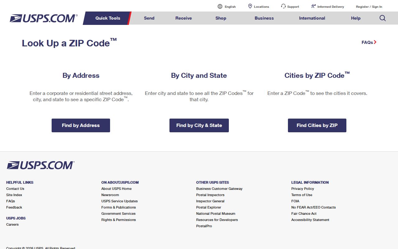
The screen verifies mail routing. It does not identify the city that taxes, permits, or polices the parcel.
Test West Melbourne Parcel Jurisdiction
After USPS standardizes an address, search it in the Brevard County Property Appraiser. The parcel detail distinguishes the situs, which is the physical assessment address, from the owner's mailing address. It also provides the account, parcel ID, legal description, tax district, subdivision, and map links. Those fields are much stronger evidence of city jurisdiction than a mailing city.
A parcel ID encodes county survey and assessment geography. It is not a ZIP code. A legal description identifies the land in deeds and may use a lot, block, subdivision, or metes-and-bounds description. Compare the parcel's city or tax district with BCPAO MapView and city-boundary data. If those sources disagree or remain unclear, ask West Melbourne whether its Building Department has jurisdiction over that exact parcel.
Boundary check. “Melbourne, FL 32904” is a postal result, not proof that an address sits within the City of West Melbourne.
Map West Melbourne ZIP Records
BCPAO does not publish a verified simple ZIP-wide filter in its public property form. Its Maps and Data downloads offer a stronger official fallback: parcels, situs centroids, subdivisions, and city boundaries. A situs centroid is a point tied to a property's physical assessment address. Comparing those points with the municipal boundary can show which 32904 parcels are inside West Melbourne.
The interactive MapView is best for one property at a time. Search an account or click a parcel, then inspect the block, subdivision, aerial, and nearby parcels. Bulk files are dated and refreshed, so retain the data date. Map polygons and coordinates are useful for research but are informational, not survey-grade property boundaries.
A parcel can even lack an assigned situs while still carrying an account, owners, legal description, sale facts, and a map. That quirk is why a failed street-address match should lead to parcel or account searching, not an assumption that the property is absent.
The Property Appraiser also offers a specialized-data request when its normal downloads do not answer a geographic question. Ask for an existing extract and state the area, fields, and file date needed. The office need not create a custom product, and exempt or proprietary fields remain excluded. Phone and in-person help provide another channel when a portal search fails. The Tax Collector can answer tax-payment questions, while the Clerk's recorded deed controls the land transfer. Each office adds a different layer to ZIP code directory research.
Find West Melbourne Residents by ZIP
A ZIP code directory narrows the search area, but official portals still work best with a name, street address, parcel, or account. Start with postal verification, then move to the custodian whose record answers the question. This keeps mailing geography separate from ownership, registration, permits, and occupancy.
- Enter the complete address in USPS and save its standardized city, state, ZIP, and ZIP+4.
- Search the same street address in BCPAO. Capture the situs, account, parcel ID, owner, and city or tax district.
- Open MapView or current public data to compare the parcel with the West Melbourne boundary.
- Search city permits by the exact address or parcel. The public Building page does not expose a verified ZIP-wide historical index.
- For voter data, use the authenticated status tool only for one's own record, or request a lawful geographic extract from Elections.
Once 32904 has been narrowed to a road or parcel, the West Melbourne street directory provides the address-by-address workflow. A tax-roll owner remains distinct from the people who currently occupy a home, and renters or other household members may not appear.
West Melbourne ZIP Voter Requests
Brevard's individual voter-status tool requires first name, last name, and date of birth. It is not a public ZIP browser. A lawful public-file request can instead specify West Melbourne precincts, city geography, ZIP, desired snapshot, fields, and output format. The custodian must apply exemptions before release.
Florida voter information may include name, residence and mailing addresses, party, status, registration date, districts, precinct, and participation history. Social Security numbers, driver-license or state-ID numbers, signatures, and protected-voter information are exempt. The roll also omits people who are not registered and cannot prove who occupies every 32904 address.
The Brevard elections site is the source for precinct maps and custodian access.
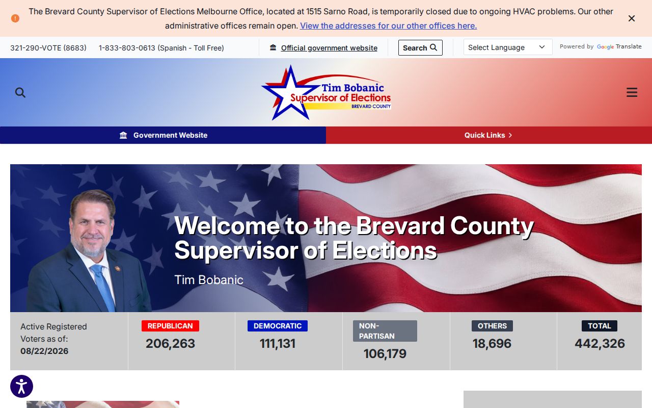
Precinct geography can support a ZIP comparison, but the two boundary systems should never be treated as identical.
Search West Melbourne Permits Precisely
West Melbourne permits are municipal records, so city jurisdiction must be settled before requesting them. Building files may show the parcel, work description, owner or applicant listed at the time, contractor, permit status, issue and final dates, and inspections. An applicant is evidence of involvement, not residence.
The public-facing Building Department page routes users by service rather than exposing a fully verified historical index. Search concepts may include permit number, address, parcel, and contractor, but the exact live fields and coverage start were not confirmed. When online access fails, make a narrow Chapter 119 request for the permit register tied to an exact address, parcel, and date range. Phone, written, and in-person channels remain available through the city.
Note: A ZIP-only permit request is broad and may cross jurisdictions; an exact parcel keeps the request within West Melbourne's custody.
Planning and code records can add useful address-dated facts. A planning file may connect an owner or applicant to a subdivision, site plan, or rezoning. Code enforcement may show an address, named responsible party, inspection dates, orders, and disposition, though exemptions can limit active or personal material. Recorded code liens may also appear in Clerk Official Records. None of these entries proves that the named applicant or responsible party lived at the address. They simply show a documented link at a stated time.
West Melbourne ZIP Boundary Terms
ZIP geography is built for mail delivery, while West Melbourne's city line controls municipal services and records. Annexation and subdivision growth can change the city boundary without changing the postal name in the same way. U.S. 192 and Minton Road are useful landmarks, but neither substitutes for the parcel and city-boundary layers. No official source confirmed a local ZIP split, realignment year, special ZIP, or citywide street-renumbering project.
- ZIP vs ZIP+4
- A ZIP groups a broad delivery area. ZIP+4 narrows delivery to a smaller segment, building, or group of addresses.
- PO-box ZIP
- A code assigned to post-office-box delivery rather than ordinary street delivery.
- Unique ZIP
- A code reserved for one high-volume organization or institution.
- Carrier route
- The set of delivery points assigned to one postal route; it is not a city district.
For any disputed 32904 location, compare four facts: the USPS standard address, the BCPAO parcel and tax district, official city-boundary data, and the city department's permit jurisdiction. That chain makes the West Melbourne ZIP code directory useful without turning a mail route into a claim about residence.